PWNA Has Been Serving Native Americans For Nearly 25 Years
Reservations
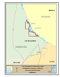 |
California: Chemehuevi
About the Chemehuevi:
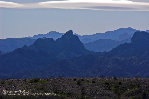
Part of the Great Basin region, the Chemehuevi were nomads of the Mojave Desert’s mountains and the Colorado River shoreline for thousands of years. They are the southernmost branch of the Southern Paiute People.
History of the Reservation:
History of the Reservation: In 1853, the Federal government declared the Chemehuevi’s land to be public domain. Most Chemehuevis were relocated to and remain on the Colorado River Reservation. But, by 1885, a few hundred of them reunited in the Chemehuevi Valley, and by 1907 Federal authorities established the Chemehuevi Valley Reservation, reinstating precious homelands. Soon after, however, their land was once again taken away this time to be used for the Parker Dam Project. After 3o years of persistence and pursuit of federal recognition, the Chemehuevi Tribe was formally reinstated on June 5, 1970. Today, the Chemehuevi Indian Reservation comprises approximately 32,000 acres of trust land that includes thirty miles of Colorado River frontage.
Life on the Reservation:
The Chemehuevi tribal members have hydroelectric, oil, and uranium resources available to them. The tribal land along Lake Havasu provides nearly all the employment and income for the members of the reservation.